Contour lines generated using Aerial Drone Survey
What are contour lines? Why are they used? How can contour lines help in understanding the terrain? Click to know more.


What are contour lines? Why are they used? How can contour lines help in understanding the terrain? Click to know more.
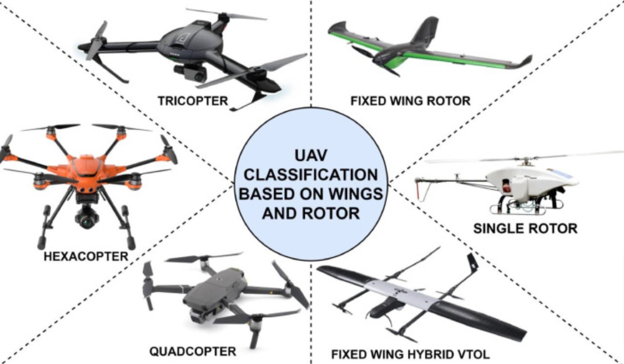
Detail Guide about UAV Technology Supporting Aerial Task Operations