- Have any questions ? +91-9004329048
- contact@pigeonis.in
GIS Companies in Mumbai
One of the Best GIS Companies in Mumbai, India
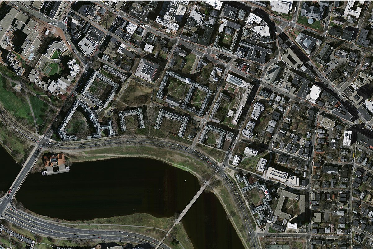
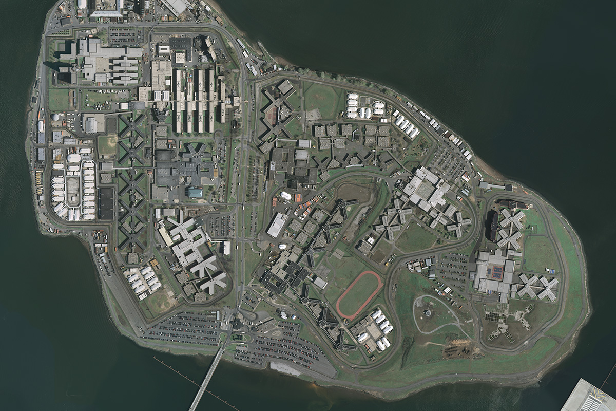
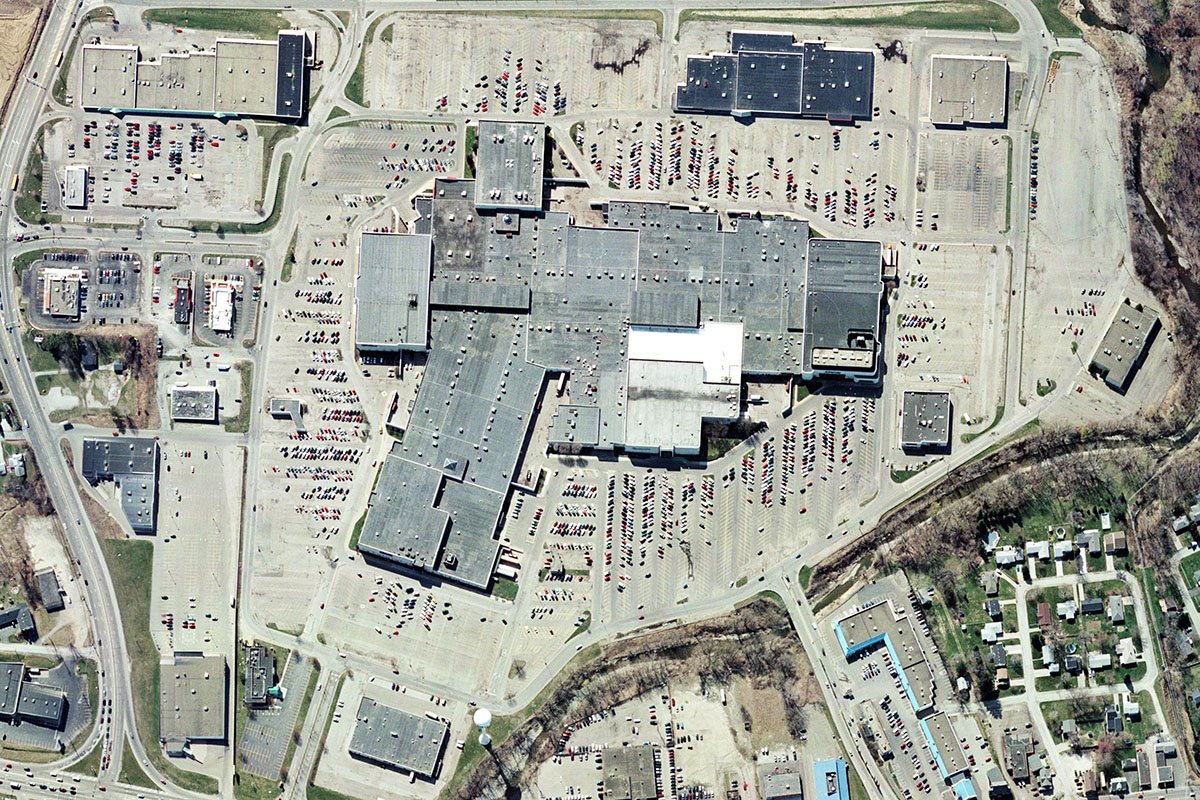
The technology is progressing day by day, and the field of the Information system is not an exception. The satellites, Drones, Airplanes and helicopters are employed to gather information about various regions. The Drones can provide even closer looks to the area providing accurate and complete info about a place. Different industries need physical location and condition of a particular site to carry out further processes; GIS companies in India are working to meet these requirements.
GIS applications
1: GIS can be used to analyse the ecosystems
2: It can be used in agriculture to find out the condition of the field
3: GIS is being applied for various purposes in military forces like remote sensing and monitoring for terrorist activity
4: It is used to navigate aeroplanes
5: The emergency crews utilise GIS to find out people in need of support
6: The telecom and network industry is applying GIS to plan complex network design and carry our engineering applications and location-based services
7: The urban development planning and town expansion can be scheduled efficiently by using GIS
Many more uses and benefits of GIS are there, and several companies are launching their services to help the industry locate their target. Pigeon Innovative solution is one of the best GIS companies in Mumbai that has been continuously employing innovations since October 2015 with a team of experts to provide useful GIS solutions.
Top GIS companies in India
Many GIS companies are established or being recognised in India serving clients globally. These companies offer various services like mapping, routing, sensing and navigation. Pigeon Innovative Solutions is one of the Top GIS companies in India working with a team of experts including agriculturists, turbine experts, land surveyors, inspectors, drone pilots, engineers and more.
Our company is determined to provide quality services with cutting-edge technology in monitoring and conducting surveys to ensure excellent and accurate results. Client satisfaction is our motto, and we carry out our work in safe mode completing the target within the prescribed time limit. Our drone pilots are experienced in capturing data, and we analyse and manipulate to provide the required spatial information.


