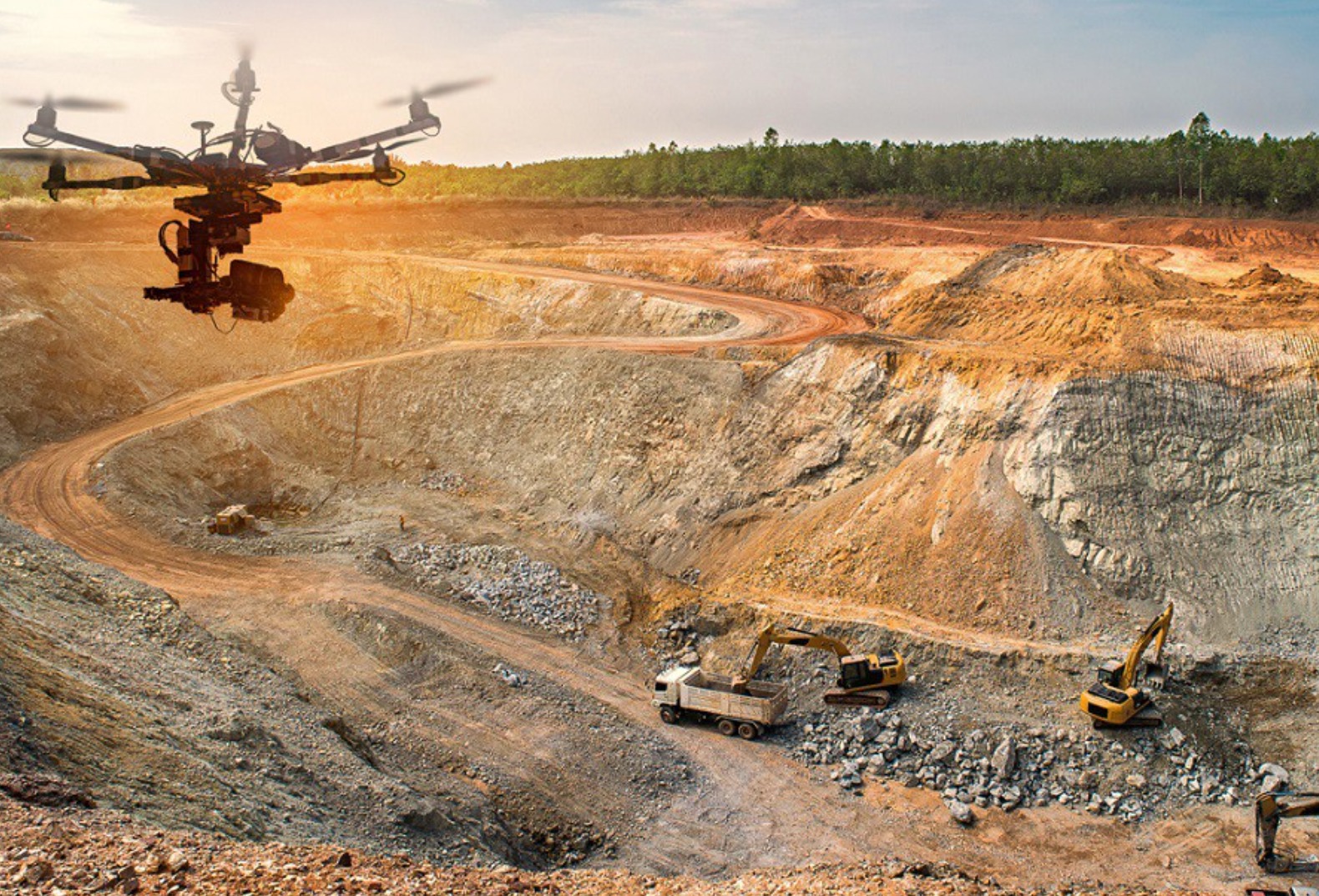
The mining industry is an age-old sector that has an extreme anthropogenic dependency. Ever since the age of civilizations this industry has its graph increasing at a very slow pace. From the raw material extraction to the piling of stocks every activity is completely human-supervised tasks.
The advent of drone technology has made the work in mining easier and effective. Drones uses in mining has progressed the industry to a level where the work
The need of raw materials and equipment’s in the mining industries has increased and the accessibility of the same is reducing by time. The two primary motives of drones in mining include minerals’ execution in delivering high end mapping data and multispectral ground analysis.
Ever since the advent of drones the industry’s game is stepping up. The mining industry has started exploring drones for various options and for turning them into alternatives. For blasting huge mining spaces for excavation, drone-derived blast designs help geologists and drone mappers to spawn blast designs. Drones provide real-time data on the desired locations. This in turn helps in understanding change over the years by map-overlaying. In areas of rugged topography with water flowing, drones help in water management and mapping the potential flow of water.
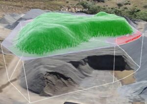
The most important piece of work of drones in mining involves stockpile volume estimation. The data captured by drones turn out to be more precise than any traditional GNSS surveys and assists the software to calculate exact measurements of the truest shape of the piles not just a rough estimation. The same technology is applied to keep a check on illegal mining regions and the identification of the same. Aerial images provide data of potential areas of exploration, which is time-effective and 10X faster than traditional methods. By using equipment controlled safety from the surface of the mines, significant reduction of physically unstable environments can be avoided.
How are drones used in mining to boost operations?
There are various perks of involving drones in the mining industry, namely-
- Haul Road Optimization
High-resolution drone images help in procuring routes that are less time and fuel consuming. This helps in smooth operations of transport performing.
- Underground Mine Inspection
Inspection and mapping of underground mines by drones determines the structural integrity and acts as a green signal to enter mines.
- Regular Monitoring of Tailing Dams
The slurry waste deposition on the embankments of the mining region poses a threat to the people in the environment around it. Drones check the tailing regions and alarm the managers prior to make the environment safe for workers.
- Stockpile Inventory control and 3D Modelling
The process of photogrammetry helps in producing data models through softwares like QGIS, Global mapper and ArcGIS. The DEMs, Point clouds provide accurate data of the region and helps in delivering accurate geospatial measurements.
Now, we just understood how drones help in the mining processes, let’s get in the detail of how the work is carried out.
Drones in mining were extremely helpful. But the work that is carried out to collect the data that eventually turns out to be helpful is done in the form of survey in five steps.
How to conduct a drone mining survey in 5 steps
- The first step being, choosing a durable drone that is unaffected by dust and a rocky ground surface. A drone that is extremely durable takes good high-resolution photos and is perfectly suitable for taking information on a rough terrain is basically used in the process of mining. One should make sure that their drone will get all the needed data without having any-setbacks or damage.
- The second step is to make sure that the drone that has been sent to collect the data is actually collecting good amounts of data over changing heights. For example in areas which conduct open pit mining inspections, then one will need an aerial survey that offers extreme levels of accuracy even from the deepest part of the sites. Now this is where don’t technology can show its magic and mining drones and create wonders.
- Third step is to set up an active site ground control. Mining drones with Post Processed Kinematic (PPK) receiver will cut down the efficiency of ground control significantly. This process in drone technology helps in cutting down the various complications of collecting data and also make sure that less amount of checkpoints are plotted, so that the process of verifying the accuracy can be eliminated. If the mining drone, does not hold the capability to do so the process of collecting data can turn out to be a tedious job.
- Heading over the step four! This is when one actually flies the drone. Good drones can be operated from distance likewise they help in capturing data too. The drone pilot can actually take advantage of a clear weather and one can free time for their rest projects. Yet it becomes easy as one can take a flight in the morning if the conditions permit and then come down and process all the data at a go.
- The later part of the job basically happens on the computer when one processes the drone data using various software’s. One has to make sure that the aerial drone data is majorly compatible with the software and compatible at the same time to produce efficient outputs as well as the required information. Now to process the data, only certain parts of it is used for collection of information and sharing the same too. Inspection, auditing, planning, reporting and reconciliation and the processes carried later on.
Why is stockpile management better with drones?
One of the important works that is carried out by the mining drones is that the accurate measurement and the volume data of the stockpile. Now in traditional methods that used to take place, a rough data was used and the work was generally carried out later.
In today’s times hundreds of data points are basically collected with the help of drones use in mining, which also includes super steep slopes, even rough topographies and sometimes regions that are completely invisible from the ground. The drone that is basically flying at a huge height, makes it a point that the data is collected so accurately and with finesse that while processing one understands, how the stockpile looks, what is its volume, and where can it possibly be shifted. It is the drone technology that makes it possible to plan realistically and keep an accurate record for all the future inspections as well as reporting all the raw material on the earth by producing DTM and DSM. Hence, this definitely turns out to be a good catch in the drone technology and hence this speaks volumes and confidence and can make a good bid.
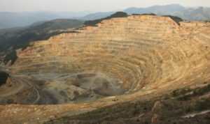
As more as 350 to 1000 data points were previously collected by the traditional GNSS survey, whereas, now more than infinite points can be collected to provide data which cannot be overlooked. Here it reduces the amounts of underground environmental risks, we can eliminate such regions with drone technology and ground truthing can be avoided. It is only because of the drone technology that a site is stable and has the least amount of risks, which are also exposed to the workers.
Now that we have understood that ground technology stepping into mining is not only fruitful but it is also going to be extremely helpful to produce accurate data as well as for the people working in the mines. Let us understand how drones basically help in reporting outputs as well as in the process of audit.
Drones used in mining has basically helped in maintaining transparency standards as well as going above and beyond in asking help from the government bodies. One can provide whatever data is been asked for with extreme transparency and with the compliance of a few clicks. At the same time, if you look at both the pros and cons, the pressure to be transparent is slowly and steadily growing.
Drones in mining are not just going to help in providing accurate data or being transparent but we are also going to be accountable for providing the proof of responsibility. For example, one can be ready to prove that the work is happening within the agreed protocols and precisely around the regulations that had been cited. All of this happening exactly at the tip of your fingers with the help of drones.
What are the main drone data outputs?
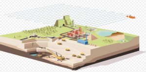
Today with the help of drones and the newer technologies that have stepped on, we can create wonders in providing data in all forms. Providing data outputs like orthomosaics, point clouds, digital surface models, digital elevation, models, contour maps, and train, imagery, and videos one can now make sure that now that they are using powerful tools of their own, mining can be carried out with extreme ease.
What is the best mine drone?
Wingtraone and Ebee are drones with super durability and efficiency. These are the ones that are generally preferred while capturing data related to mining. Yet in the past few decades, it has also been noticed that drones have been used for mining-inventory, surface mining, stockpile management, many more things that have not been thought of. Yet the latest case studies suggest that the use of drone technology in today’s use has not only made mining as a field easier, but it has opened doors to broader perspectives and change the way people were thinking about the entire mining process.
In the comments down below, tell us what you think our extremely customer friendly drones and drones that can be used in mining. Now, I do not just name drones on a very random basis!! Make sure that the drawing fits in the para metres of durability, efficiency, accuracy, ease of use, and the country’s regulation policies. Happy capturing!!

