

Drones are now able to address some of the unique challenges faced while surveying an area. Drones can collect land survey data at a much faster rate and with a much higher degree of accuracy than the traditional land-based surveyors. This helps speed up the surveying process and ensures that the actual project development work will start on time.
Pigeon Innovative Solutions, a drone survey company in India provides a wide range of survey outputs such as Orthomosaics, Digital Elevation Models (DEM), Digital Surface Models (DSM), Digital Terrain Modeling (DTM), Contour Lines, 3D Models and more. Here is a small description about these drone data outputs
Orthomosaics
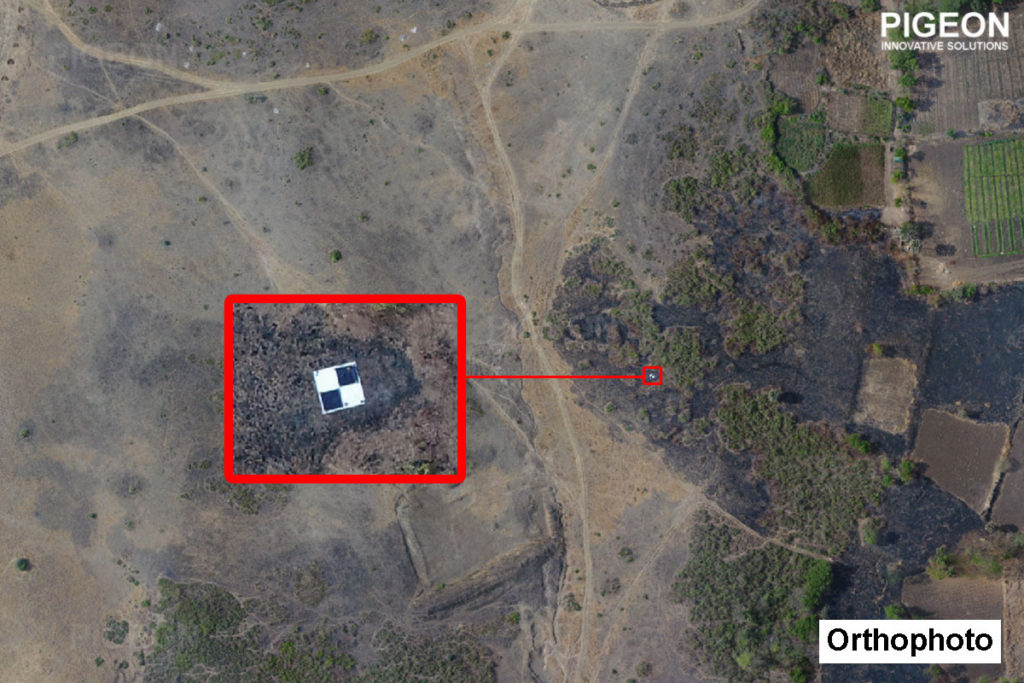
Orthomosaic maps are generated from large number of image dataset collected using drone flights. These image dataset are then processed for georeferencing and mosaicing into a single image layer. Orthomosaic maps made from aerial drone data shows great details because of the high quality images captured at low altitude. Area, distance and other planimetric measurements can be easily collected from an orthomosaic map.
Digital Elevation Models (DEM)
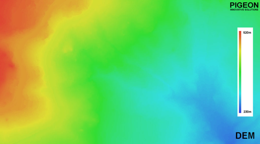
A Digital Elevation Models (DEM) is a data file consisting of digital representation of elevation information in a colour code (raster) or grid form. DEM are prominent for calculation, manipulation and further analysis of an area and generally used to analyse the elevation of an area. High spots, low spots, drainage issues and general grade can quickly and easily be observed. The strength to analyse an area using DEM is especially helpful in tracking and documenting changes during the development of an area.
Digital Surface Models (DSM)
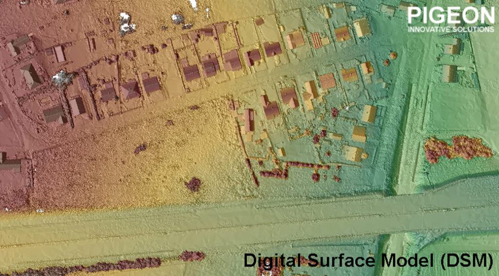
Digital Surface Models (DSM) measure the height values of the first surface on the ground, which includes buildings, roads and vegetations, as well as natural terrain feature on the Earth’s surface. DSM is generated from linear array images by impending off-colour to fine grade solution with a combination of several image matching algorithms and automatic quality control. DSM is specially useful in 3D modelling and applicable in smart city planning, urban planning, telecommunications, aviation and forestry.
Digital Terrain Models (DTM)
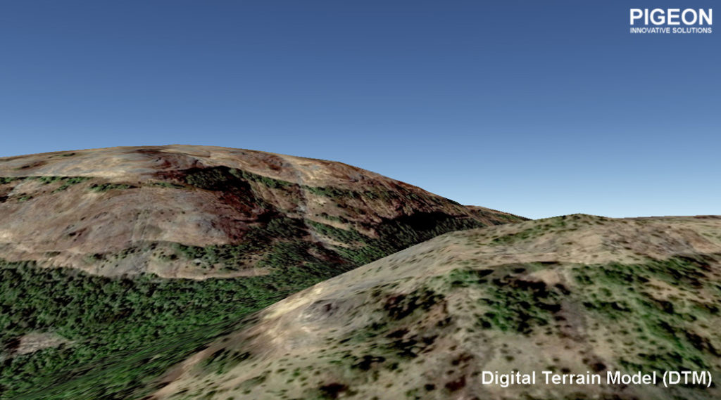
The Digital Terrain Model (DTM) is an uneven grid of 3D points (x,y,z) with the density of the grid varying dependent upon the terrain, which is stored in digital form. DTM are normally derived from Digital Surface Models (DSM) by digitally extracting vegetation, building or other man-made features. DTM can be used to model water flow, documentation, transportation system planning or geological applications.
Contour Lines
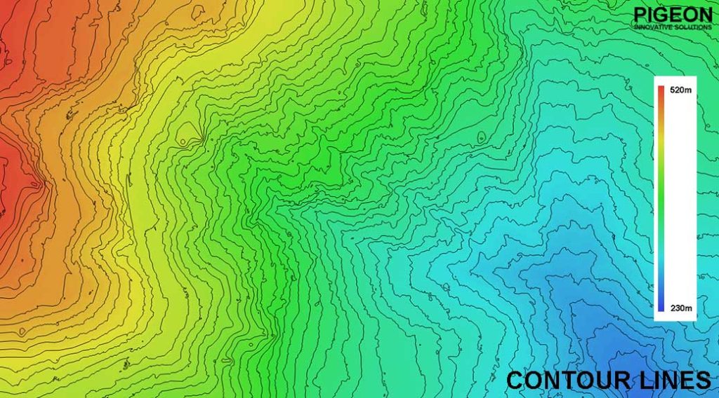
Contour Lines are used to know the elevations of an area. These are lines connecting points of similar elevation, which may be height or it can be any other measure that defines topography in a lines. Contour lines are used to understand the shape of surface, water flow, estimate valley depth and steepness. Click Here to read our article on Contour Lines.
3D Models
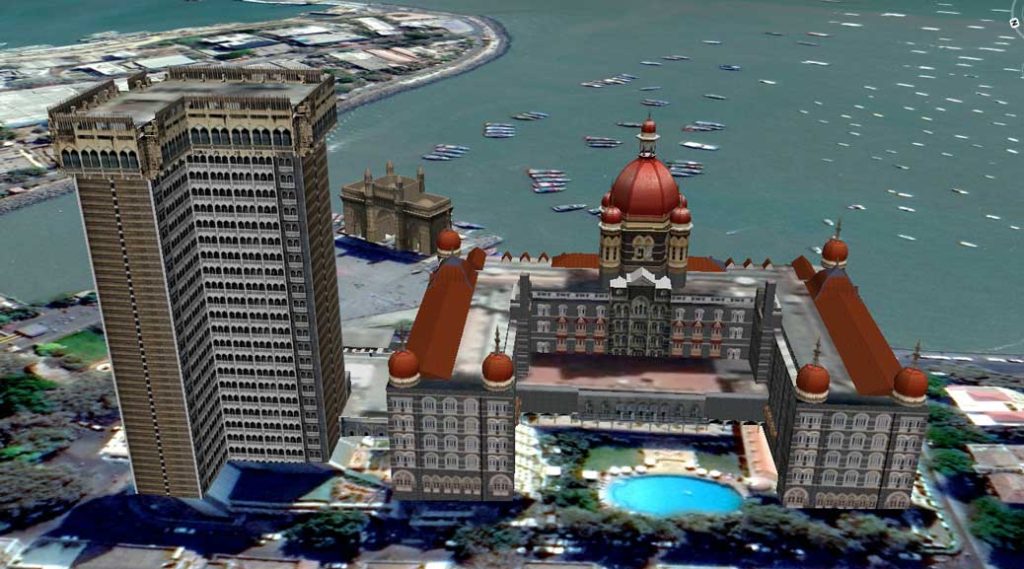
3D Models are created using imagery from Orthomosaic and elevation from DEM. After combining these datasets, a virtual 3D Model is generated which can be visualised and conclusions can be made. 3D Models are useful in Surveying or Mapping of a site which is difficult to access like forest, mountains, forts, ghats. Real time 3D models are also generated for heritage monuments, forts, temples, palaces, archeological sites, statues, etc.
Read about our recent article on “Road Construction Monitoring using Drones”
Contact Pigeon Innovative Solutions for changing the way you carry out site survey, be modernised and work less on ground. We make drones work. Be a part of Droneage. UAV Surveying and Mapping. We provide our services all over India and anywhere in the world.
This is really interesting, You’re an overly skilled blogger. I have joined your feed and look forward to in search of more of your great post. Additionally, I’ve shared your site in my social networks!