
Photographs From An Elevated Position
Aerial photography involves capturing photographs by using airborne cameras. In other words, it involves taking the photographs of the ground from a direct down position or elevated position. In this photography, the camera is not supported by any ground-based structure. In general, aerial photography is the method of taking pictures with a ‘bird’s eye’ view of the ground below from an airplane, or from a satellite or rocket and it is a common method of reconnoitering land features.
Aerial photography is widely used at the time of war to guide the intrusions through the land. Besides from the military operations, this photography also loosens the geological irregularities and can pinpoint the international boundaries in an easy manner with conviction. Aerial photography in India is offered by many aerial photography companies.
Benefits of Aerial Photography
This photography is suitable for studying the topography of a region. With this photography, the valleys, mountains, terrain and river systems are easily pictured. It helps to select the sites of important installations like hydroelectric power projects or irrigation channel. This type of photography is also used by real estate developers whose area of operation is usually very extensive. These aerial photographs are used for promotional works also.
Some of the Geological Survey companies have done amazing work with the help of aerial photography by classifying various areas based on terrain type, altitude, and the nature of sub-soil, resources and vegetation etc. In addition to this, this photography is used in GIS that deals with charts and maps. This photography also gives benefits to a number of state and federal governments while planning or relocating satellite townships as well as restructuring existing ones.
Also, natural calamities like flood, timber fire, earthquake, tornado and volcanic eruptions can be pictured or photographed with this aerial photography only. If such a condition happens, government make use of aerial photography to determine the scale of damage. This also used for space photographs. This photography is used as a method of landscape studies, particularly in researches and archaeology. Drone survey companies in India provide this type of services to the people. Photographs are taken in two different forms in aerial photography and both have different applications and uses. The two different forms of aerial photography are oblique and vertical.
Oblique
The oblique photographs are taken at an angle of 45 degrees. These photographs are taken manually at any degree and give the best view of a landscape. Images taken with oblique are generally used in archaeology to take a broad context of a feature and the area around it. These images are taken from small helicopters and fixed-wing aircraft and it is suitable for monitoring the erosion of monuments and features of many decades.
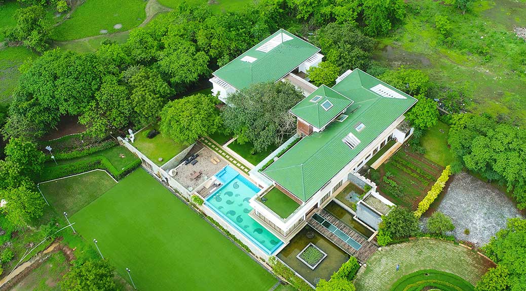
Vertical
This form involves taking photographs straight down over a landscape. This form is a plan view, therefore, it has no angle to distort the image. This form of aerial photography provides a good impression of the differences in the elevation of land and in this form the photographs are taken at regular heights. These images are used to generate Orthomosaic maps, Digital Elevation Models, Reflectance maps, etc
Contact Pigeon Innovative Solutions for Drone photography, Drone Survey, 3D Modelling, etc anywhere in India or world. Get your Quote now.