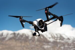
Drone Regulations in India In India, drone regulations are governed by the Directorate General of Civil Aviation (DGCA) under the Ministry of Civil Aviation. The regulations are aimed at ensuring t
Drone Regulations in India
Drone Regulations in India
In India, drone regulations are governed by the Directorate General of Civil Aviation (DGCA) under the Ministry of Civil Aviation. The regulations are aimed at ensuring the safe and secure operation of drones in the country.
Here are some of the key regulations for drone operation in India:
- Registration: All drones in India, regardless of their weight, must be registered with the DGCA.
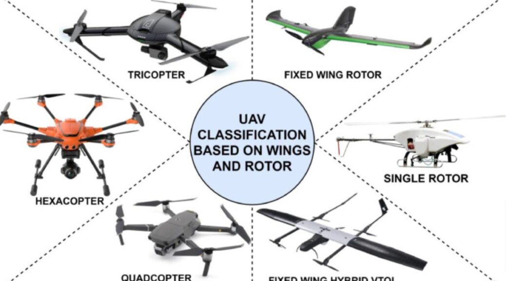
- Classification: Drones are classified into five categories based on their weight: Nano (up to 250 grams), Micro (250 grams to 2 kg), Small (2 kg to 25 kg), Medium (25 kg to 150 kg), and Large (more than 150 kg).
- Operator Permit: All drone operators must obtain an operator permit from the DGCA. The permit is valid for five years and can be obtained online.
- Remote Pilot License (RPL): Operators flying drones weighing over 2 kg must obtain an RPL from the DGCA. The RPL involves a written test and a flight proficiency test.
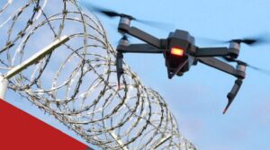
- No-fly Zones: Drones are not allowed to fly in certain areas such as airports, military installations, and government buildings.
- Flight Restrictions: Drones are not allowed to fly over 400 feet or beyond the visual line of sight of the operator.
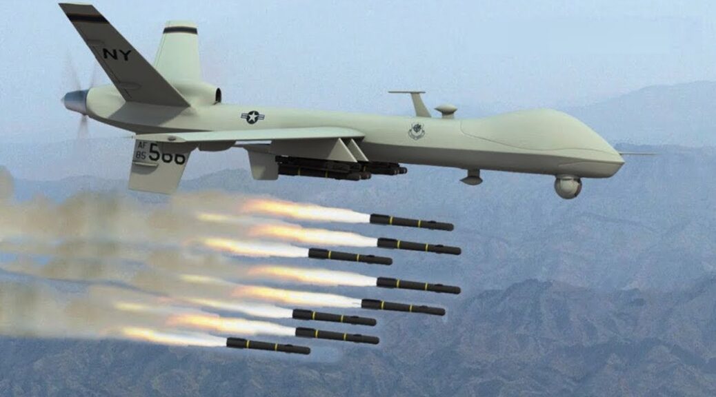
- Payload Restrictions: Drones are not allowed to carry hazardous materials or weapons.
- Insurance: Drone operators are required to have third-party liability insurance.
- Penalty: Violation of drone regulations can result in penalties such as fines and imprisonment.
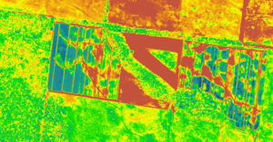
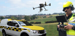
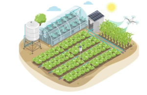
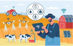
- Agriculture: Drones equipped with cameras and sensors are being used in agriculture to monitor crops, assess soil health, and detect pests and diseases. This helps farmers to make informed decisions and improve their yields.
- Healthcare: Drones are being used to deliver medical supplies such as vaccines and medicines to remote and inaccessible areas. This is particularly useful in areas with poor road infrastructure.
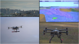
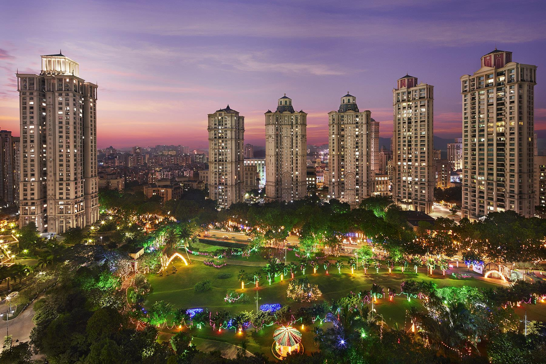
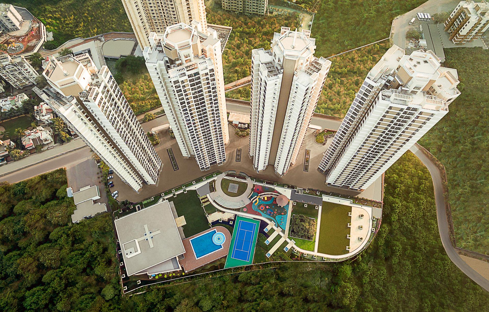
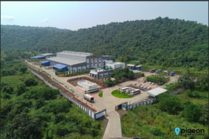
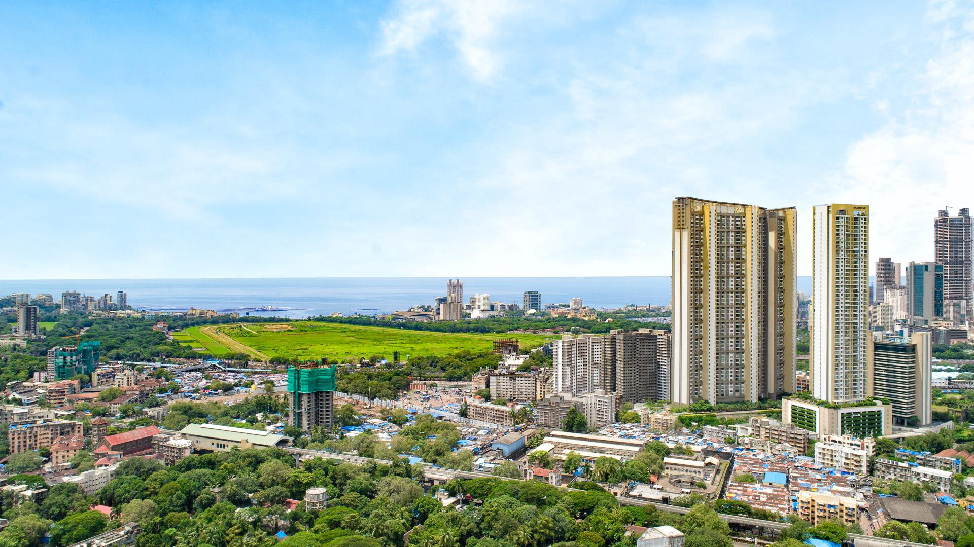
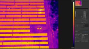
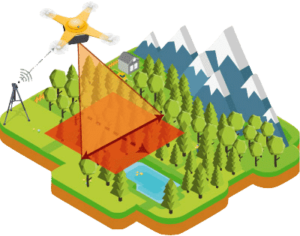
- Mapping and Surveying: Drones equipped with high-resolution cameras are being used for mapping and surveying purposes. This helps in accurate land surveying, urban planning, and disaster management.
- Logistics and Delivery: Drones are being used for last-mile delivery of products such as food, groceries, and consumer goods. This is particularly useful in densely populated urban areas.
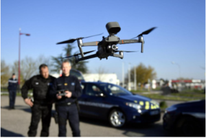
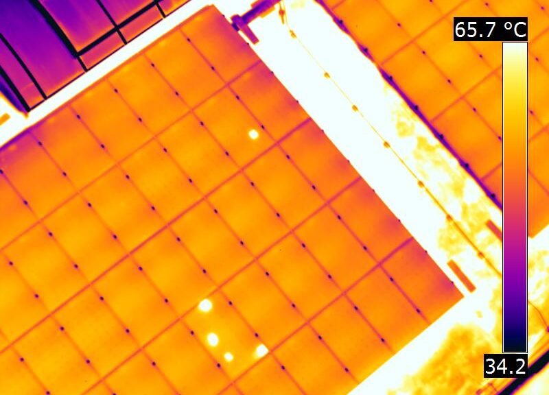
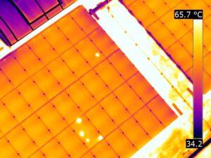
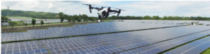
- Infrastructure Inspection: Drones are being used for inspecting infrastructure such as bridges, pipelines, and power lines. This helps in identifying maintenance needs and potential issues before they become major problems.
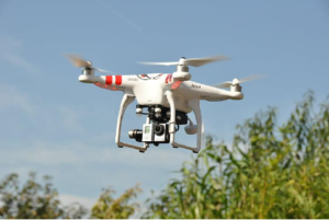
- Photography and Videography: Drones equipped with cameras are being used for aerial photography and videography for various purposes such as weddings, events, and real estate.
- Registration: All drones in India, regardless of their weight, must be registered with the Directorate General of Civil Aviation (DGCA).
- Drone Classification: Drones are classified into five categories based on their weight: Nano (up to 250 grams), Micro (250 grams to 2 kg), Small (2 kg to 25 kg), Medium (25 kg to 150 kg), and Large (more than 150 kg).
- Operator Permit: All drone operators must obtain an operator permit from the DGCA. The permit is valid for five years and can be obtained online.
- Remote Pilot License (RPL): Operators flying drones weighing over 2 kg must obtain an RPL from the DGCA. The RPL involves a written test and a flight proficiency test.
- No-fly Zones: Drones are not allowed to fly in certain areas such as airports, military installations, and government buildings.
- Flight Restrictions: Drones are not allowed to fly over 400 feet or beyond the visual line of sight of the operator.
- Payload Restrictions: Drones are not allowed to carry hazardous materials or weapons.
- Insurance: Drone operators are required to have third-party liability insurance.
- Penalty: Violation of drone regulations can result in penalties such as fines and imprisonment.
- No-fly zones: Drones are not allowed to fly in certain areas such as airports, military installations, and government buildings.
- Flight restrictions: Drones are not allowed to fly over 400 feet or beyond the visual line of sight of the operator
- Prohibited activities: Drones are not allowed to carry hazardous materials or weapons, or to drop any object from the air.
- Privacy concerns: Drones are not allowed to capture images or videos of individuals without their consent, or to operate in a way that infringes upon the privacy of others.
- Time restrictions: Drones are not allowed to operate during night hours, or in adverse weather conditions such as rain, fog, or strong winds.
- Distance from people and property: Drones are required to maintain a minimum distance from people, property, and other objects in the air.
- Public safety: Drones must be operated in a safe and responsible manner to ensure the safety of individuals and property.


 Is LIDAR better than photogrammetry?