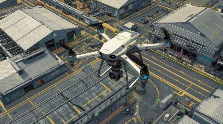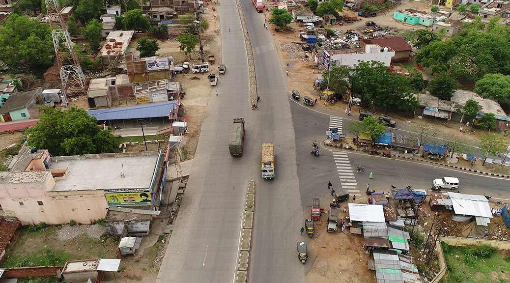
The Sky Mapper: How LiDAR Drone Survey for smart cities and Infrastructure
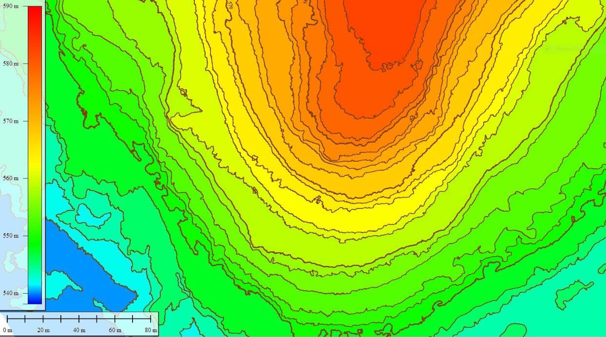
LiDAR drone surveys are transforming smart cities by delivering precise 3D maps for urban planning, infrastructure inspection, and traffic management. From environmental monitoring to disaster response, these drones provide data-driven solutions that build sustainable and resilient urban environments.